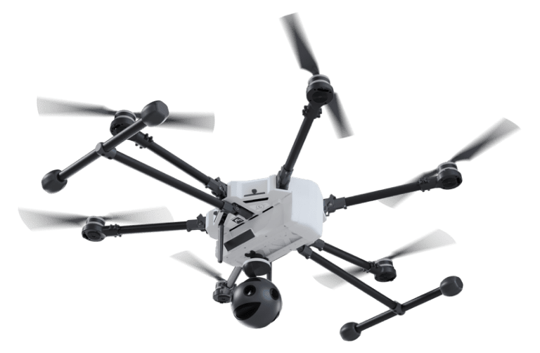
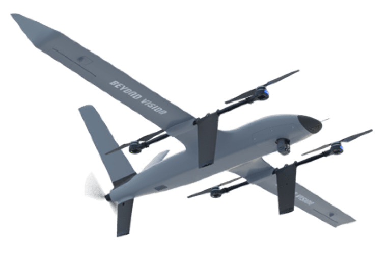
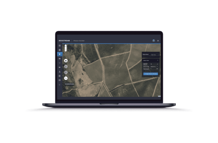
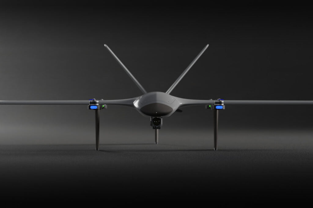
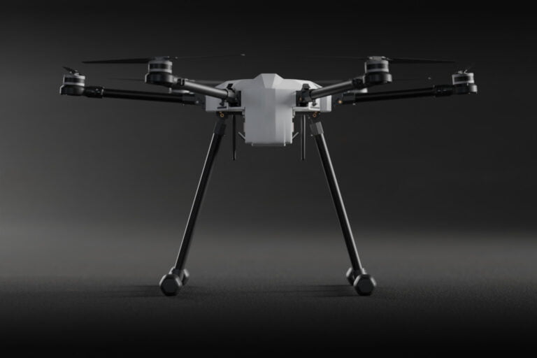
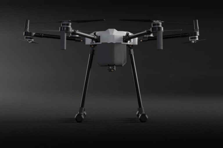
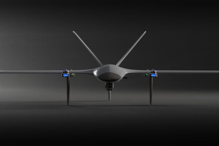
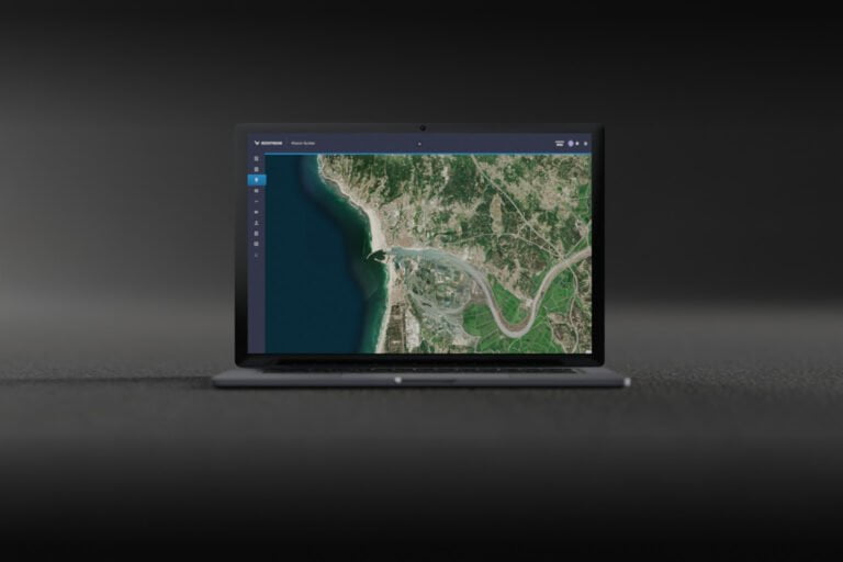
Infrastructure


Data Collection


Production of Aerial Maps


Project Management
evolution of projects.


Data Collection
More profitable planning and bidding processes – in real time – through the precision of data collection by the HEIFU drone.


Production of Aerial Maps
Minimize errors in Project Management, through the complete identification of the site, the production of aerial maps and reliable measurements.


Project Management
Minimise the risk
Time vs. Decision-making
Minimise the risk
The use of drones in the supervision of infrastructures can reduce work accidents by up to 91%.
The inspection of infrastructures – in the construction or maintenance phase – allows to increase the safety of the site and work operations (identifying intrusions by intruders and preventing accidents at work).
Time vs. Decision-making
The Role Of Drone Technology In Infrastructure
Adaptive drone
Simplified interfaces to ensure the integration of multiple sensors – easily adaptable to different scenarios.
Mission review
Flight History available to review all missions performed and to plan all future missions.
Simplicity in every detail
Autonomous missions only require an area of interest and are automatically available on the platform.